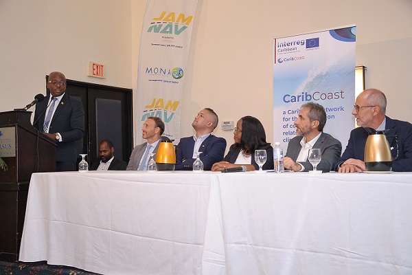
This week the Caribbean Coastal Risk Prevention Network presented in Guadeloupe the results of its studies and analyses of the last 4 years, in the presence of representatives from Jamaica, Trinidad, Puerto Rico and Association of Caribbean States, partners of the program
Perfectly in line with the environmental issues that the Caribbean island territories are now facing, the INTERREG CARIB-COAST program is a European project led by the Geological and Mining Research Bureau of Guadeloupe, which has enabled the creation of a network of experts for the prevention of coastal risks and adaptation to climate change.
It aims to share, build and disseminate approaches to monitoring, prevention of coastal risks and adaptation to climate change.
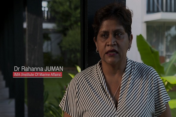
This program responds to one of the main areas of concern of the Association of Caribbean States: the preservation and defense of the Caribbean Sea, it encompasses the entire insular Caribbean including the French West Indies of Guadeloupe, Martinique and St. Martin and relies on partners such as the Caribbean Coastal Ocean Observing System in Puerto Rico, the Institute of Marine Affairs in Trinidad & Tobago and the MONA Institute of Geoinformatics at the University of the West Indies in Jamaica
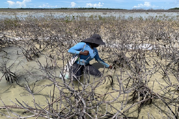
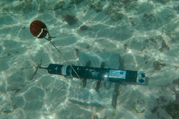
Among the existing tools, we note a digital platform for modeling marine submersions, which will also serve as a data bank for the storm and impact monitoring network and the coastal erosion monitoring and prevention network
You will have understood, the associated stakes concern above all the safety of the goods and the populations, but also the tourist economy related to the maintenance of the beaches and the natural inheritance of these environments rich in biodiversity, a beautiful example of cooperation between the countries of the Caribbean and European French West Indies.


